
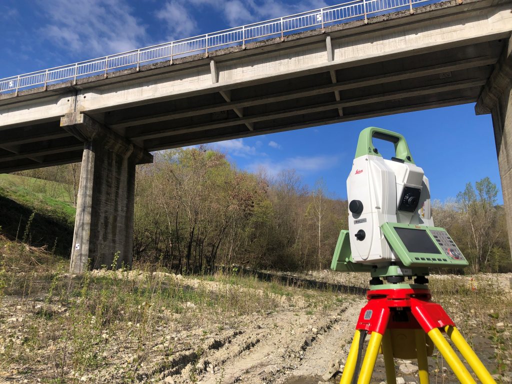
Short answer: The best AI tools for land surveyors in 2026 are PIX4Dmatic for survey-grade drone processing and CAD extraction, Carlson PhotoCapture for Carlson shops that want to pay by the job, DJI Terra for all-DJI fleets, Propeller for earthworks volumes and progress, Trimble Business Center for AI point-cloud classification, and Bentley OpenSite+ for AI-assisted site design. Where a vendor does not publish pricing, we say so instead of repeating third-party guesses.
Quick comparison
| Tool | What it does | Price (verified) | Best for |
|---|---|---|---|
| PIX4Dmatic | Photogrammetry + survey vectorization, terrain, contours | Analyst $2,290/yr; Standard $3,990/yr; Pro $4,990/yr | Survey-grade desktop processing |
| Carlson PhotoCapture | Drone photogrammetry inside the Carlson workflow | Desktop $4,500 one-time; Web $350/yr + pay-by-data | Carlson shops, low-volume flyers |
| DJI Terra | Reconstruction for DJI drones and Zenmuse LiDAR | Dealer-listed from ~$1,850/yr (Standard) | All-DJI fleets |
| Propeller | Cloud site models, volumes, cut/fill, AeroPoints GCPs | Platform quote-based; AeroPoint $1,000 each | Earthworks and construction progress |
| Trimble Business Center | Field-to-finish office suite, AI point-cloud classification | Quote via Trimble distributor (not published) | Trimble-equipped firms |
| Bentley OpenSite+ / Designer | AI generative grading and site design on survey data | OpenSite Designer $3,168/yr (Virtuosity) | Land development and site design |
1. PIX4Dmatic — the survey processing standard
One change most coverage has missed: PIX4Dsurvey was folded into PIX4Dmatic in January 2026, so the photogrammetry engine and the surveying/vectorization tools (point clouds, orthomosaics, DSM/DTM, TIN, contour lines, terrain classification, CAD extraction) now live in one desktop application, with AI-assisted classification and vectorization in its plan comparison. Pricing on Pix4D’s own page, billed yearly: Analyst $2,290/yr for terrain and CAD workflows with automatic vectorization, Standard $3,990/yr for high-accuracy 3D processing across drone, mobile and LiDAR in one project, and Pro $4,990/yr combining both plus Gaussian Splatting. The 15-day trial now requires a payment method and converts to a paid subscription automatically unless you cancel — set a reminder the day you start it. Best for: firms that need survey-grade processing and CAD-ready vectors from drone and LiDAR data.
2. Carlson PhotoCapture — pay by the job, keep your workflow
PhotoCapture is the natural drone add-on for the many survey shops already running Carlson Survey or Civil: point clouds, orthophotos, DEMs and contours, with a Survey Canvas for linework, surfaces and volumes, and GCP workflows throughout. Carlson publishes real prices on its own product page, which is rarer than it should be: the standalone desktop version is $4,500 one-time with unlimited processing for one user, while the web version is a $350/yr membership plus pay-by-data processing — 5GB for $250 up to 250GB for $3,195. The catch: LiDAR processing and the StockpileStudio automated stockpile add-on are each a separate $1,500/yr subscription on top. Best for: Carlson shops, and low-volume flyers who would rather pay per project than carry a big subscription.
3. DJI Terra — native processing for DJI fleets
If your firm flies DJI — Matrice aircraft, Zenmuse P1 or L2 payloads — Terra is the native reconstruction path: photogrammetry models, point clouds, true orthophotos and DSMs, Zenmuse LiDAR reconstruction, and 3D Gaussian Splatting on the Flagship tier. DJI does not publish US pricing on its own store pages we could verify, so treat figures as dealer-listed: Standard runs about $1,850/yr (or $5,280 perpetual) and Flagship about $3,700/yr at US dealers. One licensing gotcha from DJI’s own store terms: each license binds to one DJI account and one computer, and the bound account cannot be changed — choose the account carefully before you activate. Best for: all-DJI fleets that want LiDAR and photogrammetry processed in the vendor’s own pipeline.
4. Propeller — earthworks volumes without the office bottleneck
Propeller is the cloud option built for construction surveying: upload drone imagery and get 3D site models, orthomosaics, and volume and cut/fill measurements against design, with AeroPoint smart ground-control points ($1,000 each, or $5,000 for a five-pack, on Propeller’s own store) anchoring accuracy. Platform pricing is quote-based — ignore the per-year figures on third-party sites, none of them come from Propeller. A 14-day free trial is offered. Best for: earthworks and site teams measuring quantities and progress on a schedule.
What the pricing page doesn’t make obvious
Propeller’s own Data Services Description carries two terms every buyer should read before signing: unused dataset credits expire at the end of the term — they do not roll over and cannot be refunded — and if your platform license lapses, your data is permanently deleted after 14 days unless you renew or buy paid hosting, and it is irrecoverable even if you renew later. Export or back up anything you need before a lapse, and size your credit pack to the term you will actually fly.
5. Trimble Business Center — AI classification for point clouds
TBC is the field-to-finish office suite for Trimble-equipped firms — GNSS, total station, level, scanner, UAV and mobile mapping in one project — and its AI is documented by Trimble itself: automated point-cloud classification built on a 3D deep-learning segmentation model (ground, vegetation, buildings, poles, signs, vehicles and more), AI feature extraction for things like manholes, trees, pavement markings and stockpiles, and custom classification models you can train on your own data. Trimble publishes no price; TBC is sold as subscriptions through distributors, so any exact dollar figure you see on a comparison site did not come from Trimble. Best for: Trimble firms that need classified point clouds and full data traceability.
6. Bentley OpenSite+ — AI moves upstream into design
OpenSite is where survey data becomes a site design: terrain modelling, grading, drainage and subsurface utilities. The AI generation is OpenSite+, which Bentley bills as its first AI-powered application — generative design that can evaluate thousands of site grading scenarios in one pass, a Copilot for natural-language modelling, and automated drawing annotation. Verified pricing is partial: OpenSite Designer is $3,168 for a 12-month Virtuosity practitioner subscription on Bentley’s own store; OpenSite+ pricing is not public, so do not let anyone quote you the Designer figure as the OpenSite+ price. Best for: civil and site firms doing land development on top of their survey work.
Where surveyors fit in the bigger AI stack
Survey data feeds the rest of the construction workflow we cover: quantities flow into the best AI estimating software for contractors and the best AI takeoff software, and field crews coordinate through the tools in our best AI tools for construction contractors roundup.
FAQ
What AI actually helps land surveyors today?
Point-cloud classification, feature extraction from drone imagery, automatic vectorization and terrain modelling. Those office tasks — not data collection — are where AI saves the most hours.
Do I still need ground control with drone surveying tools?
For survey-grade accuracy, yes in most workflows — systems like Propeller’s AeroPoints exist precisely to make GCPs faster and more reliable, and PPK workflows still depend on solid control.
Which tool is cheapest to start with?
Carlson’s web PhotoCapture ($350/yr plus per-project processing) is the lowest-commitment paid start; PIX4Dmatic’s 15-day trial is free but now requires a payment method and auto-converts, so diarise the cancellation date.
Why don’t Trimble and Propeller publish prices?
Both sell through quotes and distributors, sized by seats, credits and hardware bundles. That is exactly why third-party “pricing” for them varies so wildly — get the quote in writing, including credit expiry and data-retention terms.